top of page

Solar Power
Simulation
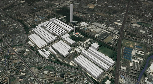
~ Solar power plant utilizing factory roof ~
Creating a landscape model
We create 3D terrain data using the Degital Elevation Model (DEM), which can be obtained from the Geospatial Information Authority of Japan.
If you have topographic data from aerial surveying or drone laser, we will use that.
When using data from the Geospatial Information Authority of Japan, the mesh will be accurate to 5 or 10 meters.
* When using data from the Geospatial Information Authority of Japan, the mesh will have an accuracy of 5m or 10m.
Creating a Module Layout
bottom of page